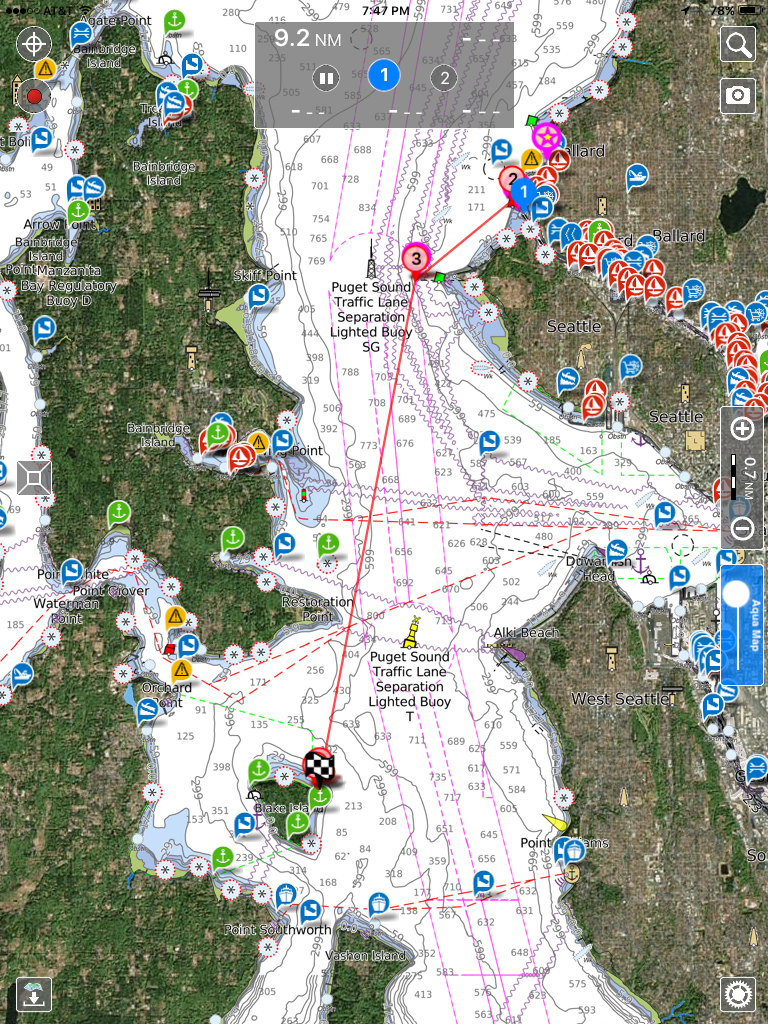
Journey to Blake Island
Well, not quite a Journey but it could be for some. Blake Island is just under 10 Km. South from our Shilshole Marina. We had South winds that day so I figured we would be motoring all the way there. As we motored out the channel from Shilshole in a Westerly direction it was tempting to put out a sail or two, but I knew as soon as we turned South I would just be putting them away again. It was a sunny 55 degrees and we enjoyed the view of the Olympics, As we cleared West Point and turned a bit South I noticed that we got a lift and again was tempted to at least put the genoa out, but again we would be turning due South in a few moments. When we were well clear of the shoals off the Magnolia Bluffs we turned due South, and we continued to get a lift. I was puzzled and wondered if this was just a temporary wind change., Finally I could not take it anymore and rolled out the 140% Genoa and we actually motor sailed the rest of the way to Blake Island. I now realized the geography in this part of the sound, especially off the huge Magnolia Bluff provided a lift all the way across to the Island. Still learning local knowledge for sure.
Day 1: Perimeter Trail
 |
| Blake Island where you can feel far away in a densely populated region. |
 |
| The small channel leading into the marina at Blake is narrow and shallow. For deep er draft vessels it is wise to enter and leave at higher tides. |
 |
| The Harbor Master met us and made docking simple in the small marina. We felt very lucky to get a spot in the first come first serve marina. |
 |
| We arrived around 1400 so there was plenty of daylight left for hiking the almost 4 mile Perimeter Trail. |
 |
| You start at sea level and then have several ups and downs. |
 |
| This tree wanted to take the place of what must have been a grand old tree. |
 |
| Just checking our location on the trail. |
 |
| There are lots of mooring balls all the way around but the West side seems to be most popular due to winds and waves I'm sure. |
 |
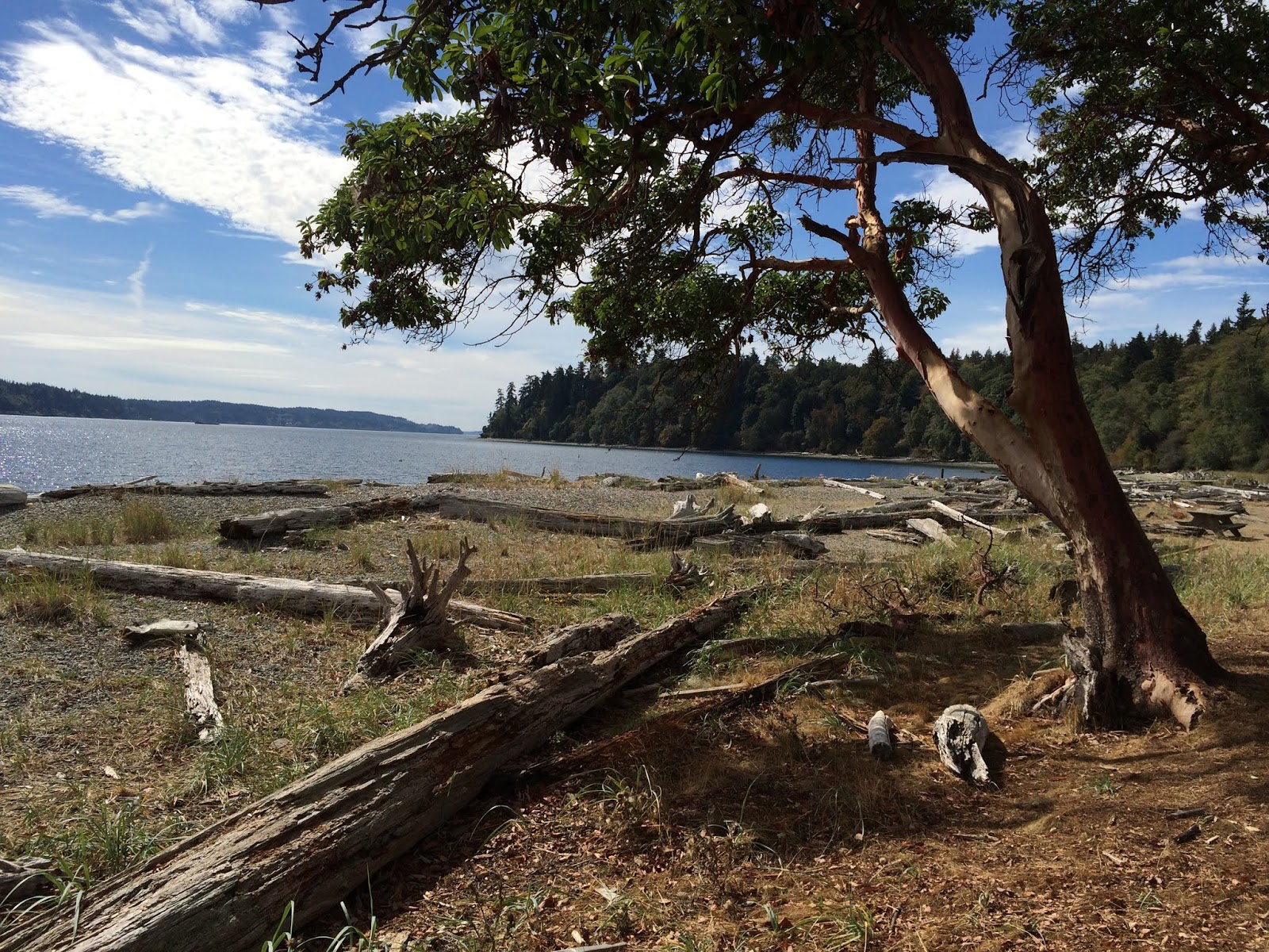
| The Madrona's always add character to all trails in the Northwest. |
 |
| What! I had to wonder if this was just a fluke of nature or something else. The pumpkin face on the leaf was certainly a October Welcome sign. |
 |
| So I read that you climb about 450 feet on the perimeter trail, but the highest elevation is about 200. Like I said there are lots of ups and downs along the way. |
 |
| Great views, here to the South of Bainbridge Island |
 |
Trees fall every winter in the high wind storms due to the shallow root systems. Or as the trees die of old age and those in protected forest become
Nurse Logs https://en.wikipedia.org/wiki/Nurse_log |
 |
| Seattle is just right over there. |
 |
| A wooden Schooner anchored in calm seas |
 |
| The Longhouse feeds and entertains guest brought here year round on the Argosy Cruise line. |
Day 2 Beach Day
 |
| Just learned Mt. Rainier is the 3rd most dangerous volcano in the world. |
 |
| Natural beauty is the art of the PNW |
 |
| Add caption |
 |
| Low Tide offers seabirds and Raccoons a fine dinner. |
 |
| Life on the Rocks |
 |
| The seabirds and raccoons share the same beach trail. |
 |
| The deer like the beach too! |
 |
| A range marker for the ships coming from Tacoma. |
 |
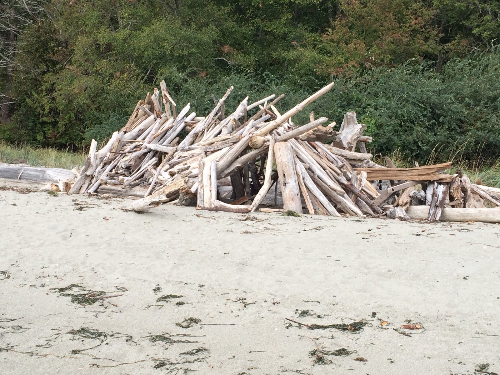
| Some Human Spirit |
 |
| Our Contribution, a first rock stack for us. |
 |
| The Argosy |
 |
| Add caption |
 |
| We hiked the Cross Island trail for the afternoon |
 |
| Deep in the Forest |
Blake Island has been on the Admiral's short list ever since we acquired SNOWBALL. We were grateful there was dock space available with shore power for our heater. Soon we will install a diesel heater so we can take advantage of mooring balls and anchorages...very different from the Gulf of Mexico where we had to have two air conditioners on board.


No comments:
Post a Comment